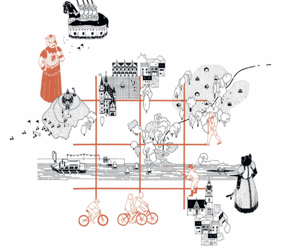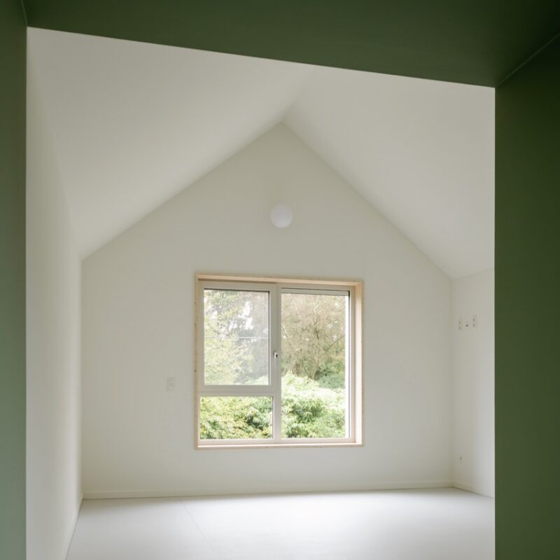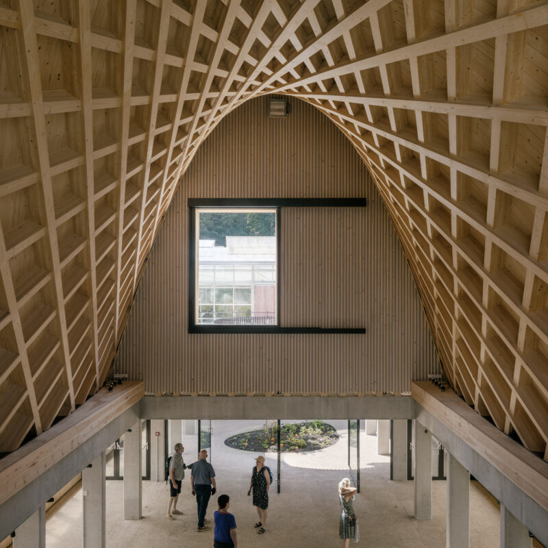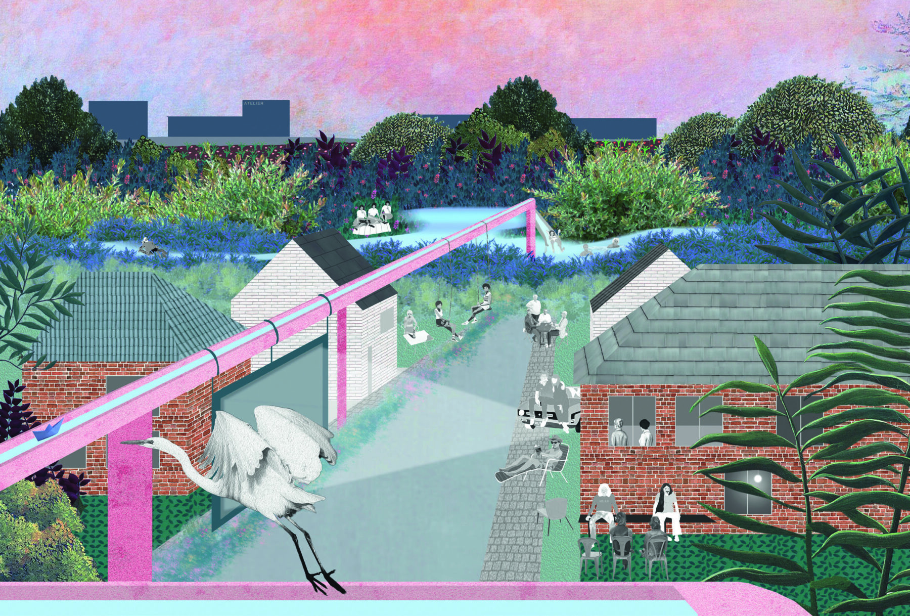
In Woluwe Waterland 1 design agencies 1010au and Fallow are linking a complex water challenge with a series of small-scale and socially valuable projects. Administrative responsibility for this challenge is organised at neighbourhood level, close to residents and users. Essential cohesion is derived from the comprehensive figure of the river basin. By choosing this hydrological contour as a guiding framework, Woluwe Waterland anchors itself in the laws of the landscape. 1 Woluwe Waterland is part of a broader study of the 20th-century Brussels periphery that was conducted in 2021 as part of Labo Ruimte XX I, an initiative of the Flemish Government Architect, Labo Ruimte, Brussels Government Architect and Perspective Brussels.
The eastern edge of Brussels is a territory full of conflicts, often resulting from friction between urban patterns and the subsoil. This is certainly true for water management: for a long time, attempts were made in vain to subject the water to the mores of the 20th-century city with a mass of sewer pipes, underground stormwater basins and pumping stations. Rivers have been crammed into pipes, the landscape has been paved over on a large scale, and vital infrastructure has been built on top of watercourses. In passing, the past has been erased: springs, ponds and streams – once central places in communities – first disappeared underground and then from memory.