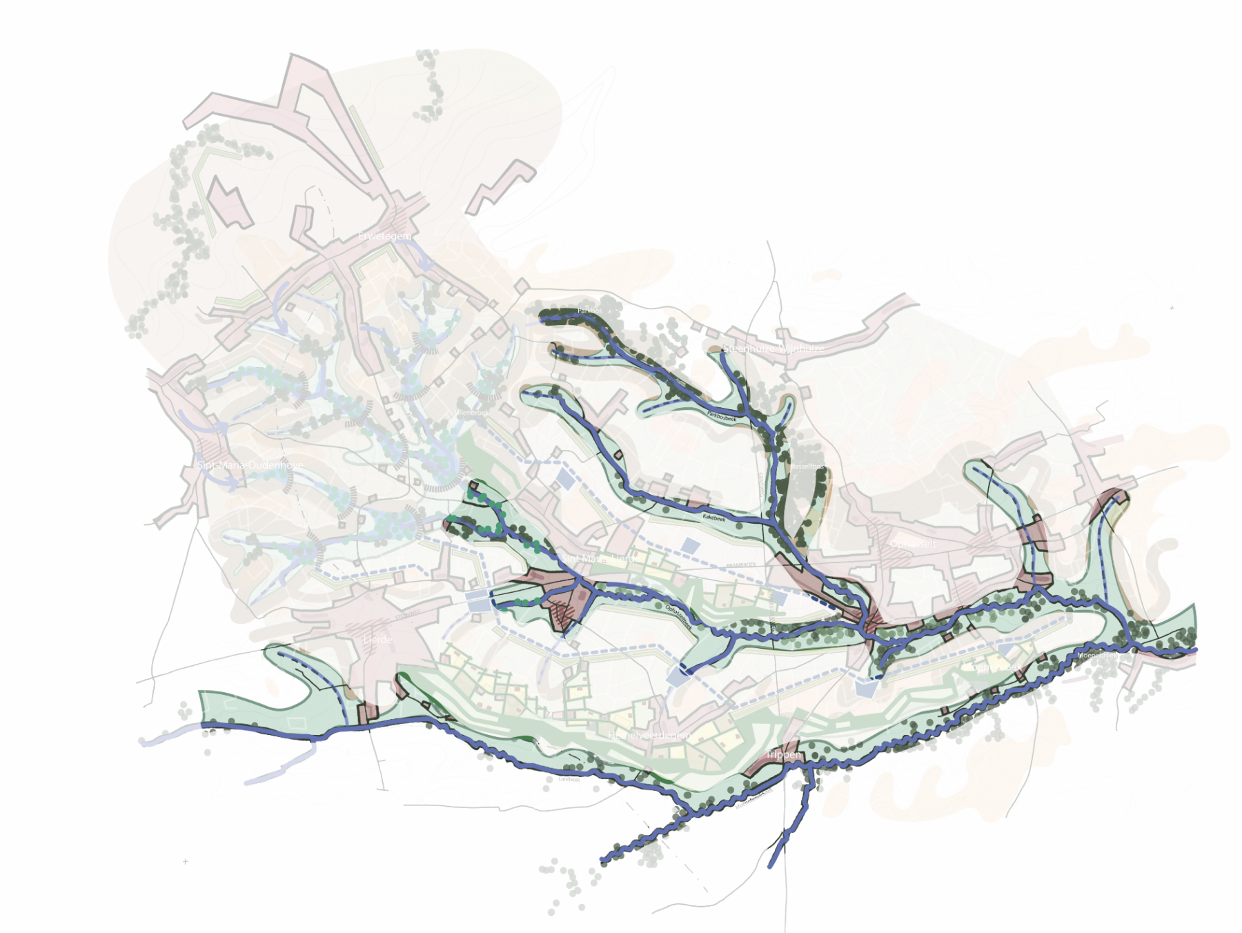
As water management is closely linked to spatial planning, but planners and designers are not yet sufficiently aware of the issue, Labo Ruimte launched the study with the project ‘De Droge Delta’ (The Dry Delta). The first phase resulted in a drought atlas establishing a register of challenges and possible spatial interventions. Given that these interventions differ considerably from region to region, depending on the relief, subsoil and location of the hydrographic network, three teams were assigned to three regions. The study of the Dender Valley illustrates how the landscape can, elsewhere in Flanders too, become an element in the fight against drought and flooding.
In recent summers, water has been in the headlines: in 2021 with the floods that engulfed the Vesdre valley, and the following year with prolonged periods of drought and water shortages. Compared to other regions in Europe, Flanders faces high water stress. Although annual rainfall is sufficient to meet our water needs, too much of it continues to end up in the drains, causing problems during periods of drought. The increasingly extreme weather events caused by climate change are only exacerbating the problem.