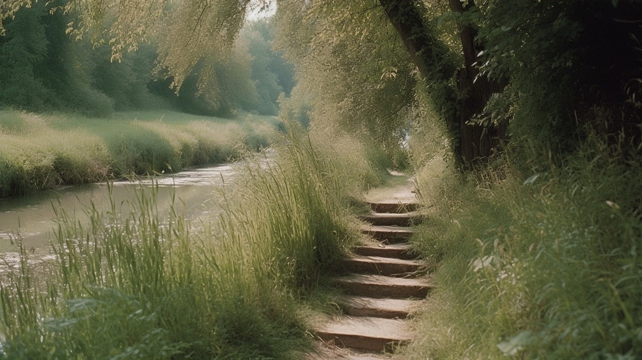
From its natural source in Cerfontaine to the urban area of Charleroi, the Eau d’Heure river stretches for nearly 50 kilometres and flows through a series of municipalities. Its course is the subject of pre-operational studies, such as a territorial charter initiated by Charleroi Métropole, with a view to establishing guidelines for future interventions. The CITW (Wallonia Tourism Engineering Centre) has commissioned the urban architects of Réservoir A and the landscape architects of Carbonifère to draw up a territorial development plan linking urban and rural entities. This is an opportunity to create a new route that combines the landscape, tourism and economic aspirations of the various stakeholders.
As if conducting an investigation, the architects began by surveying the Eau d’Heure area. They are already familiar with it, as it is where they grew up. Their aim is to find paths and routes along the banks, which are mostly wild but sometimes privatised in an anarchic manner. By connecting them to new paths, they are attempting to weave a continuous thread and bring coherence by positioning anchor points along the route. The course of the river, which is closely linked to that of the railway line connecting Charleroi to Couvin, sometimes presents difficulties by limiting crossings to underpasses. In addition to the linear path, looped paths are then drawn around these areas.