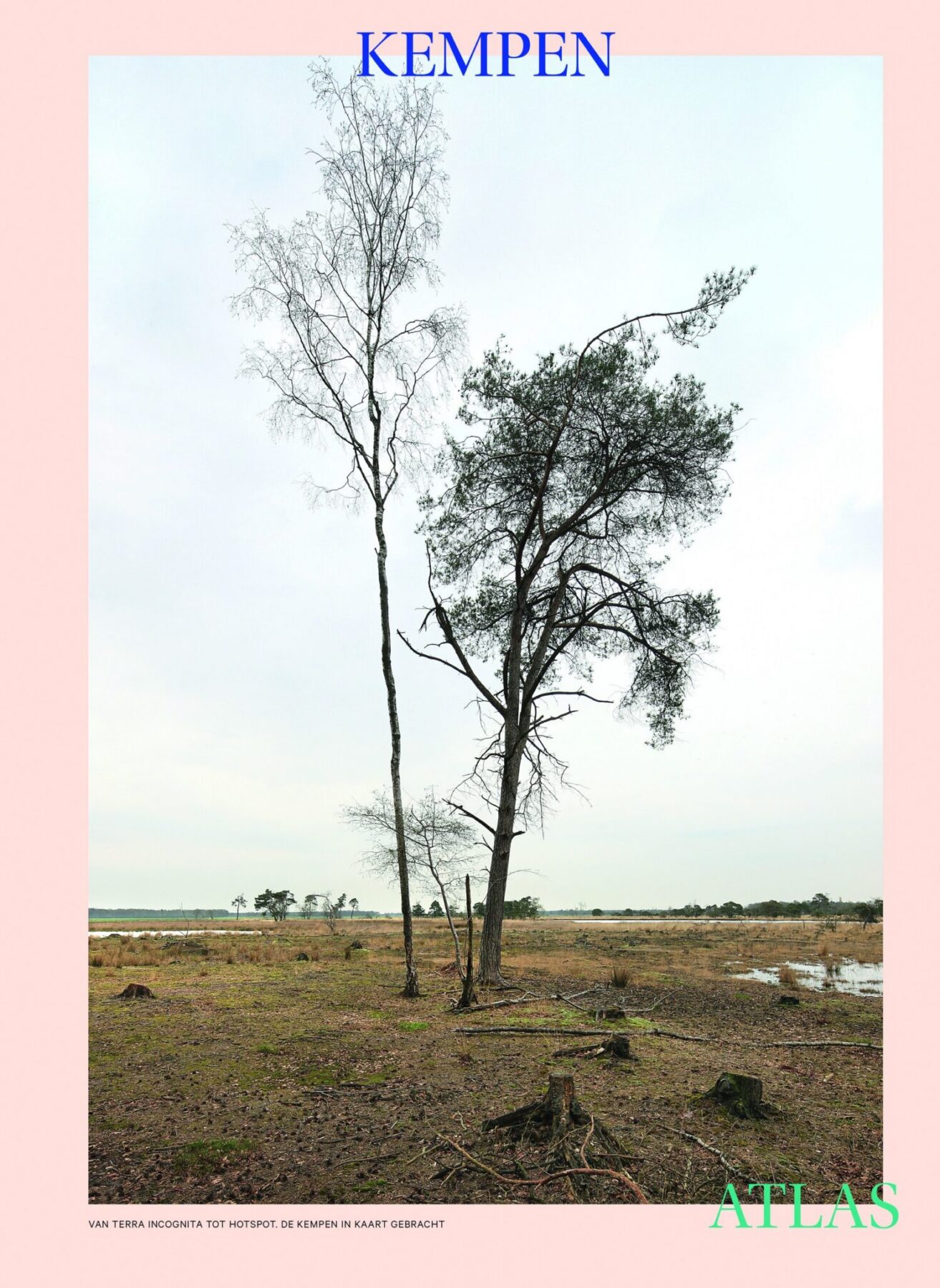
Atlases are all the rage. In the age of big data, the world is constantly being reshaped through innovative digital techniques, but it is not always clear whether these actually help to improve our understanding. The Kempen Atlas by AR-TUR maps this complexity and shows us that, when it comes to territory, an in-depth description of reality is necessary and has strong links to the project.
The Kempen Atlas by AR-TUR (Centre for Architecture, Urbanity and Landscape in the Kempen), as part of the Turnhout 2012 event, offers a wonderful interpretation of the theme of the atlas through the precise analysis and interpretation provided by the group of researchers who came together to produce it. This project is funded through crowdfunding and edited under the direction of Maarten Van Acker, professor of urban planning at the University of Antwerp.